Tag archive title : topographic maps
11 Jul 2016 - 10:03
TEHRAN (Tasnim) Iran has sold a series of aerial topographic maps to a number of regional countries.
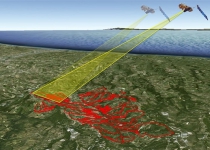
Thanks to its homegrown satellites, Iran has acquired the knowledge to produce detailed topographic maps, for both civilian and military applications.
After receiving raw images from the satellites, launched by domestically-made carriers,...
| Next page |
Latest News
Most viewed
